Since March last year I’ve been working on a project using esri StoryMaps. Its a neat tool which requires no coding to use, designed to enable you to produce a scrollytelling story with a spatial slant – mostly by enabling you to produce useful maps/map-based-animations. A scrollytell animation uses the simple action of scrolling to drive an unfolding story with text, video and animations, arguably, they date back to 2012 and a story called ‘Snow Fall’, a Purlitzer winning story and graphical delight (nice history and future of scrollytelling).
Here’s a video showing how easy StoryMaps are to create:
Telling a spatial story on the web using animated maps isn’t limited to StoryMaps, there are other free tools such as Google Earth Tour builder (tutorial howto) which will allow you to produce a different type of spatial story. I use the term ‘Atlas Tour‘ to describe these different types of platforms.
When I was teaching at Southampton University, I got undergraduate students to create an Atlas Tour (using Google Earth Tours which was state of the art at the time). I allowed students to choose their own story, I quickly discovered was that students sometimes struggled with choosing a good topic for an Atlas Tour. Students often identified a topic that had a map that goes with it or involves spatial data but that still didn’t make for a great Atlas Tour, the spatial component of the narrative has to form the ‘spine’ of the story – it has to be the main story.
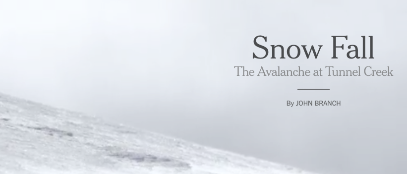
A lovely example of an Atlas Tour we’ve already mentioned is ‘Snow fall’, if you’ve never read/watched it you’re in for a treat.
An example of a non-Atlas Tour would be a topic that my partner works with as a medical statistician: the performance of surgeons at different English hospitals over a year. You have data about where the surgeons work so in theory you could make a map and plot on it performance data in some way. However, the story is really about how individual surgeons are doing, its about people not place so it doesn’t make a great Atlas Tour.

A topic that does make a great Atlas Tour can involve data that isn’t based around maps at first glance. Take the case of basketball, players take shots from different parts of the court. These shot locations can be collated and analysed using GIS techniques producing ‘court maps’ that make great Atlas Tours. Here’s an example story that could be put into an Atlas Tour platform like StoryMaps.
Identifying good topics for an Atlas Tour isn’t easy for the inexperienced but, if I were to put it in a nutshell, I’d say it boils down to :
“Is there a map that is the essence of the story?”